
How to Search Gilmer County Property
The fastest path runs from address to parcel. It then moves to owner and the recorded deed. The state assessment portal handles several keys. It accepts a street name, an owner name, or map and parcel parts. A full IAS parcel number also works. The WV Property Viewer works differently. Its E-911 address mode suits street lookups. A second mode searches by owner or parcel. Once a parcel is found, carry its number and legal description to the tax inquiry and the Clerk's deed index. A map label alone is never proof of title.
- Try the complete physical address in WV Property Viewer; if it fails, use the Assessor Street Name search.
- Record the district, map, parcel, suffix, and any special-ID segment, including leading zeroes.
- Open the detail panel and save the legal description, owner name, and physical address.
- Search tax inquiry with the map-parcel and verify the bill’s name and billing address.
- Search the Clerk IDX as grantee for the latest conveyance, then as grantor to follow the prior transfer.
Fields in a Gilmer County Result
A summary in the state parcel viewer stays lean. It lists the parcel number, one owner, and the physical address. Opening the record adds a fuller inventory. The assessment portal adds appraisal and sale filters, and the Clerk index returns filing references. Compare every hit by parcel number and legal description. One person can own several tracts, and a shared mailing address can cover more than one tax account.
| Owner | Owner shown in IAS; the summary may show only one |
|---|---|
| Physical and mailing addresses | Parcel location and owner notice address are distinct |
| Parcel key | District, map, parcel, suffix, and special-ID parts |
| Value fields | Cost and appraised values; assessor sale filters |
| Legal description | Recorded land description used to compare tracts |
| Deed reference | Book and page searchable in the assessment portal |
No search result is a title report. The viewer's own field limits make that plain. A single displayed owner may not be every vested owner. A GIS parcel line is not a survey. Sale figures come from appraisal and sales records, not a current market price. When a boundary or a property right must be settled, rely on the Clerk's recorded document. A surveyor or title professional settles it.
Choosing a Gilmer County Search Key
An address search is quickest when the physical street entry is known. Owner search casts a wider net. It can surface land held by a person or an entity. Same-name matches call for parcel-by-parcel review, though. A full parcel ID is the strongest handoff. It moves cleanly among the Assessor, the viewer, the tax portal, and the deed index. In Gilmer County, map and street names beat a rural route or P.O. box. The E-911 address system does not search either postal form.
| Search Key | Best For | Where It Works | Watch Out |
|---|---|---|---|
| Street or E-911 address | Locate a known physical property | Assessment / WV Viewer | Rural routes and P.O. boxes fail in E-911 search |
| Owner name | Find returned parcels tied to a person or entity | Assessment / WV Viewer / Clerk | Same names, trusts, estates, and co-owners require checking |
| Parcel ID | Carry one tract across systems | Assessment / GIS / tax | Keep zeroes and each segment in order |
Not a title search. A Gilmer County property search gathers public tax and recording references, but it cannot guarantee clear title or a surveyed line. Confirm an ownership question with the latest recorded instrument and qualified title work.
Gilmer County Assessment Search Fields
The WV Real Estate Assessment application is the main multi-key search. County selection comes first. District narrows the results after that. Basic fields cover the full parcel ID, owner, map, street, parcel, sub-parcel, property class, tax class, and land use. Appraisal/Sales mode adds value, acreage, sale-date, and price limits. Advanced mode goes further with mailing address, flood hazard, deed book and page, legal description, building year, building area, and structure counts.
| Field group | Gilmer search use | When to try it |
|---|---|---|
| Owner and street | Name or road-based parcel list | Address is partial or owner is known |
| Map, parcel, sub-parcel | IAS parcel segments | A tax ticket or map label supplies the key |
| Deed book and page | Bridge to a Clerk result | A recorded reference is already known |
| Legal description | Search the land wording | Street names changed or address is missing |
| Appraisal/Sales | Sale date, price, appraisal, acreage | Compare transactions or narrow a large list |
The complete dropdown list lives on the portal itself. The WV assessment search is free to use. It provides an external parcel-viewer link, and the assessment screen for Gilmer County lays out owner, street, map, parcel, and advanced search modes.
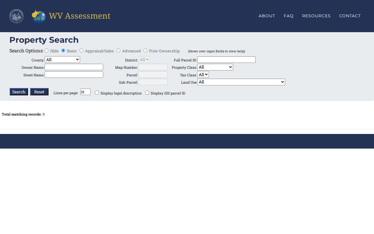
Street Name builds a block list; open each parcel before choosing one.
Street-Name Searches for Rural Parcels
One road can hold many parcels. Gilmer's Street Name field returns all of them when it matches, which helps when a route address or an old house number fails to match the E-911 database. Narrow the list with district or parcel segments. Then read the legal descriptions. A familiar surname alone is never enough to settle the choice, and this WV-5 assessment query shows the street-search route.
Once a candidate parcel appears, compare its physical address, mailing address, acreage, and deed book and page. A mailing address may lead to an owner living elsewhere. If the street search comes up empty, try an owner name or a legal-description filter, or ask the Assessor to identify the right parcel key.
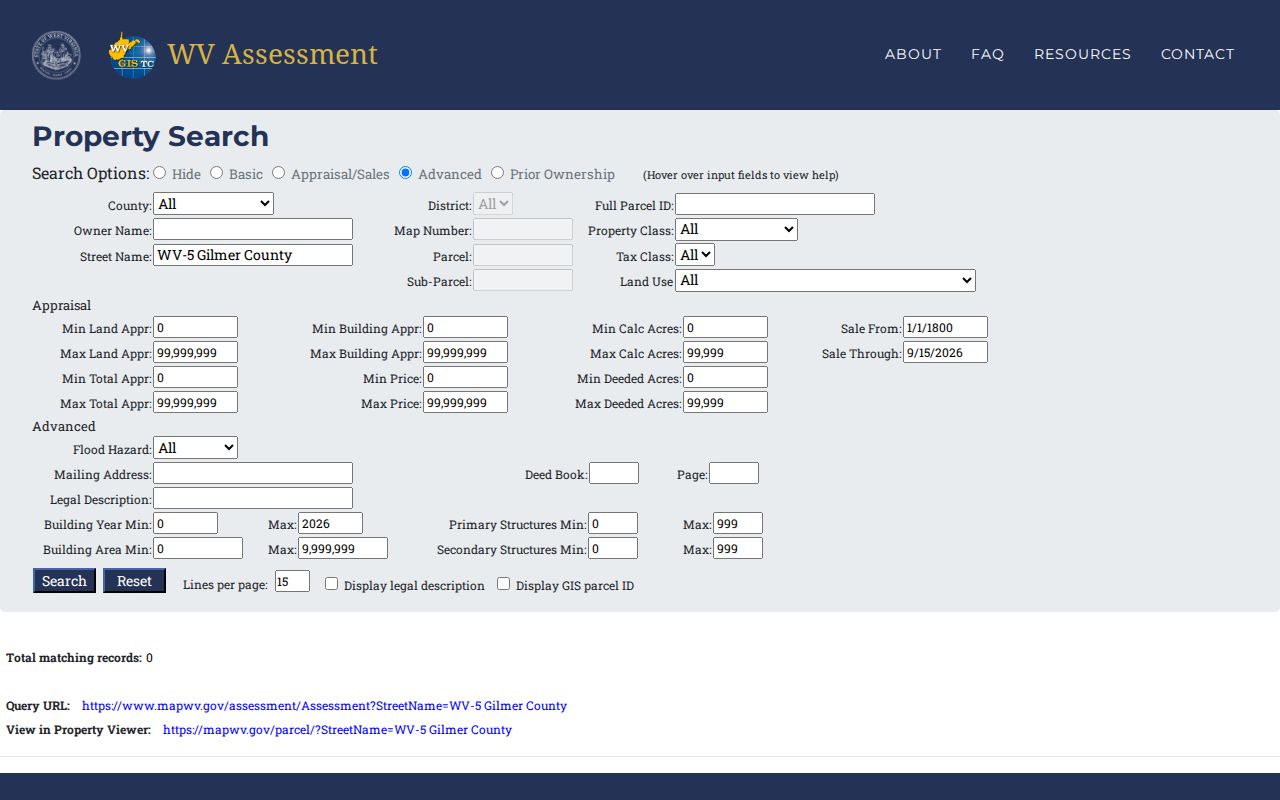
Verify every candidate against the map and legal description.
Reading the Gilmer Parcel ID
A parcel number tells a story. It carries district, map, parcel, and suffix segments, plus a special ID when one applies. The viewer's documented standard uses a two-digit district, a four-digit map, a four-digit parcel, and a four-digit suffix, all with leading zeroes. The example format is `01 2345-6789-0123`. Never strip the spaces or zeroes when copying a value between offices. The assessment form also takes partial parts.
An exact ID is the strongest bridge from the assessment roll to the WV Property Viewer and the tax inquiry. The tax site sometimes shortens it. When that happens, compare its district and parcel parts against the full IAS number. Keep the ID and legal description together. Notes that pair the two will still make sense after parcel splits or map edits change the GIS reference, since a historic deed keeps its metes and bounds.
What the Detail Panel Adds
A parcel summary on the Gilmer County map keeps things brief. The detail panel goes much deeper. A full record can list the description and property owner. The physical address and E-911 address come with it. Building information, cost values, and appraised values follow. Delinquent status may appear as well. So may community and flood information. The map itself may show only one owner. Open the linked assessment report for the complete tax record. The deed still settles who the owner of record is.
Viewer tools cover identify, highlight, copy link, KMZ download, and CSV export. A saved link or CSV file preserves what you found. It does not certify the parcel or change anything in the county's property records. The desktop detail view shows the sections that open once a Gilmer parcel is selected. The desktop parcel view adds building and appraised-value sections after the map result loads.
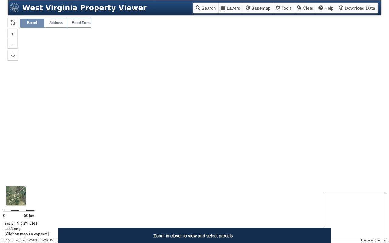
Check the display against the Assessor roll and the recorded deed before treating the owner field as the whole story.
Owner Names, Entities, and Estates
A name search can return more than a person. Trusts, estates, fiduciaries, and limited liability companies all appear in Gilmer County deed records. Try punctuation and likely name variants. A trustee may show as grantee while the trust name sits in another instrument. The viewer's one-owner summary can hide co-owners, so read the deed's vesting language before assuming one visible name equals the whole interest.
For an LLC, the WV Secretary of State offers Organization and Agent/Officer/Name search. That record shows the registered office, process address, officers, incorporators, annual reports, and amendments. A registered agent is a contact, though. The agent is not always the beneficial owner. Search the property record by parcel number first. Use the state business record only to interpret the entity name.
When E-911 Search Misses
The state parcel viewer's address mode relies on SAMS. Rural routes and P.O. boxes are excluded. A mailing address still helps in the Assessor's advanced form. But it shows where a tax notice goes, not where the land sits. For rural property, use the physical street name, owner name, or known parcel. Communities such as Normantown, Rosedale, Troy, and Stouts Mills work as road and place clues only. They never prove a municipal boundary.
Glenville and Sand Fork deserve the same caution. A postal city and ZIP do not guarantee a parcel sits inside town. When the town line matters, compare the selected parcel with an official boundary map. Keep street, owner, map/parcel, and legal description as separate keys. Do not force an address match.
Tax and Deed Cross-Checks
Once the parcel is identified, the tax inquiry adds year, ticket, name, billed and paid totals, amount due, account, map-parcel, description, and billing address. A ticket can name an owner different from a recent deed. Gilmer assesses the July 1 owner of record. Treat the tax bill as a billing document.
The Clerk IDX result lists recording date, document type, book/page, page count, party name, cross-date, and instrument. Search the present grantee and compare the parcel description. Viewing tax tickets online is free. Payments add a Certified Payments fee. The deed-record route and parcel maps each answer a narrower question than this broad property search.
When an Address Does Not Find the Parcel
The statewide viewer's physical-address search depends on the Statewide Addressing and Mapping System. Rural routes and post-office boxes are not E-911 location keys. An address copied from a tax bill or deed may fail. The parcel may still be present. Switch to the street-name filter. Narrow the result by district, owner, or map and parcel segments. A road search can return several properties. Compare physical address, acreage, and legal description before choosing one.
Older deeds need extra care. Keep both the current parcel number and the deed's book and page. The modern number uses district, map, parcel, and suffix parts. A historic description may instead name a creek, road, adjoining owner, or lot. The IDX search bridges by deed book or party name. The tax inquiry bridges by map-parcel. Matching references across those systems beats treating one formatted address as a universal key.